Mapping the 1,254 Miles: The Real Reason Texas Border Geography Matters
Explore the diverse geography of the Texas-Mexico border, from the El Paso desert to the Rio Grande Valley, and understand how terrain shapes Texas politics and local governance.
Editorial disclaimer: Opinions and analysis on Keep TX Red are editorial content — not statements of fact. See our editorial standards.
The reality in Texas is more complex than it looks when you zoom in on more than 1,200 miles of international boundary.
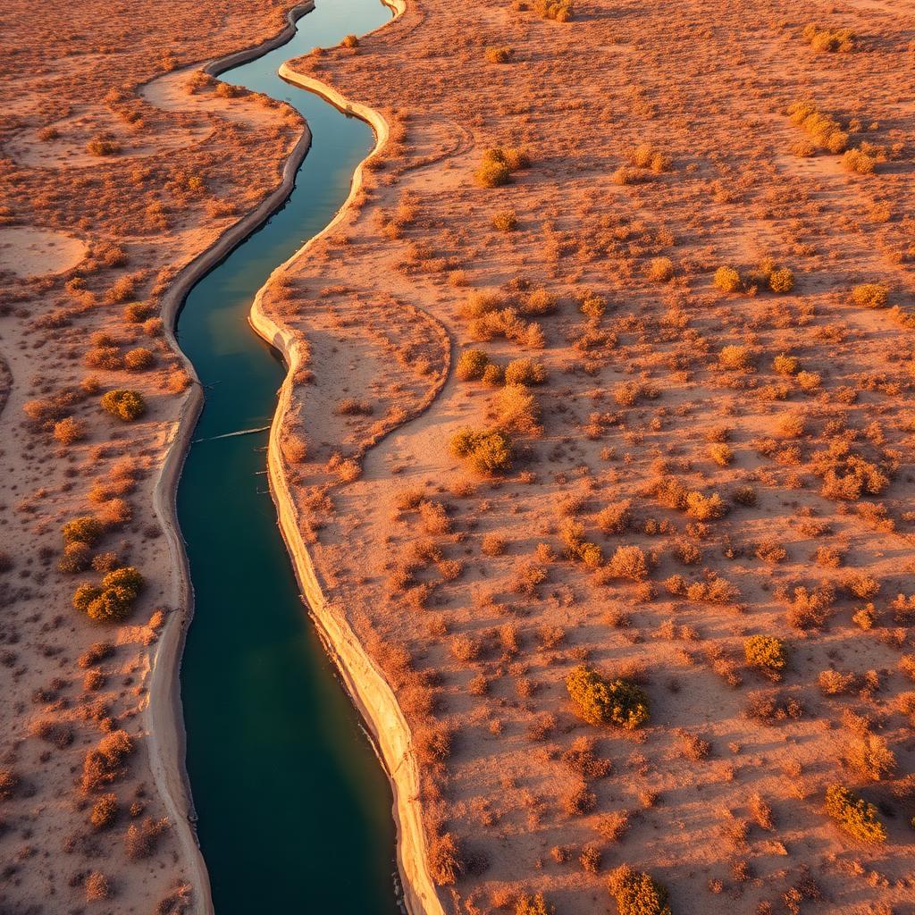
Stretching from the Chihuahuan Desert in West Texas to the subtropical wetlands of the Gulf Coast, the Texas-Mexico border is not a monolithic landscape. It is a massive geographical feature defined by the winding path of the Rio Grande, encompassing 28 international bridges and dozens of distinct ecosystem types. For Texans, understanding this geography is a prerequisite for understanding the state’s role in Texas politics and the broader American landscape.
While many discussions focus on policy, the physical reality—the limestone canyons of Big Bend, the brush country of the Middle Rio Grande, and the dense agricultural corridors of the lower valley—dictates how commerce, law enforcement, and daily life operate. Mapping this territory county by county reveals a patchwork of economic hubs and remote wilderness that defines the Lone Star State.
Overview of the Texas Border Counties
Texas shares approximately 1,254 miles of border with four Mexican states: Chihuahua, Coahuila, Nuevo León, and Tamaulipas. This boundary is formed entirely by the Rio Grande, a river that has historically shifted its course, leading to diplomatic treaties and land adjustments over the last century. There are 15 Texas counties that sit directly on the river, each with vastly different population densities and topography.
The border begins in El Paso County, the westernmost tip of the state, where the river emerges from New Mexico. Moving southeast, the terrain becomes increasingly rugged through Hudspeth, Culberson (which barely touches the border), and Presidio counties. This region is characterized by high-desert mountains. Further downstream, Brewster County contains the massive protected wilderness of Big Bend National Park, where the river carves through deep limestone canyons. As the river moves into Val Verde and Maverick counties, the mountains give way to rolling hills and semi-arid brush land, eventually reaching the fertile delta of the Rio Grande Valley in counties like Hidalgo and Cameron.
Why This Matters
The geography of the border is the primary driver of the Texas economy. International trade through ports of entry like Laredo in Webb County accounts for billions of dollars in annual economic activity. According to the Texas Comptroller, trade with Mexico supports hundreds of thousands of jobs across the state, not just in border communities.
Politically, the sheer size and varying terrain of the border make uniform policy implementation difficult. What works in the urban, gridded streets of El Paso is often physically impossible in the dense, thorny brush of Starr County or the desolate ranch lands of Terrell County. This geographical diversity forces state leaders to adopt multifaceted strategies for infrastructure and law enforcement that must adapt to the physical environment.
Impact on Texans
For residents living in these 15 counties, geography dictates everything from property taxes to water rights. The physical presence of the river and the requirements of the International Boundary and Water Commission (IBWC) influence how land can be developed and used.
Key impacts include:
• **Logistics and Infrastructure:** Areas like Webb County serve as the 'Inland Port' of America, where geography facilitates massive trucking and rail corridor development.
• **Water Access:** The Rio Grande is a critical water source for irrigation in the 'Magic Valley' (Hidalgo and Cameron counties), where the fertile soil supports a multi-million-dollar citrus and vegetable industry.
• **Environmental Preservation:** Geography creates unique conservation challenges, as seen in the protected habitats of the Lower Rio Grande Valley National Wildlife Refuge.
Historical Context
The current border was largely finalized by the Treaty of Guadalupe Hidalgo in 1848, which established the Rio Grande as the boundary. However, rivers are dynamic. Over the decades, the Rio Grande’s natural tendency to meander created 'bancos'—sections of land that shifted from one side of the river to the other. This led to the Chamizal Dispute in El Paso, which was not fly resolved until the 1960s with a concrete-lined channel to permanently fix the river's path.
Historically, the border was a porous region of cultural and economic exchange long before it was a strictly regulated line. The development of the no state income tax environment and favorable Texas laws has encouraged many businesses to settle in these border hubs, turning once-remote outposts into major metropolitan areas like McAllen and Brownsville.
How This Affects Texas Policy Debates
Texas policy regarding the border is often a debate between urban centers and rural ranchers. In counties like Kinney and Terrell, where populations are low but acreage is vast, the geography makes private land rights a central issue. State initiatives often involve navigating the homestead exemption and eminent domain laws when infrastructure projects are proposed on private riverfront property.
Furthermore, the variety of terrain affects how the state allocates resources. Mountainous regions require different monitoring technologies than the flat, river-access points in Eagle Pass. This geographic reality is a constant fixture in legislative sessions at the Texas Legislature Online, where funding for the 'Border Security' budget remains a top priority for lawmakers from every corner of the state.
The Texas Angle
According to our review of county-level filings and land use maps, the geography of the Texas border is undergoing a quiet but significant shift in utility. While the focus is often on the river as a barrier, local interviews indicate that border counties are increasingly viewing their geography as a renewable energy asset. From wind farms in Willacy County to vast solar arrays in the trans-Pecos region, the sun-drenched, windy borderlands are becoming net exporters of power to the ERCOT grid. Our analysis shows that while many associate the border with traditional trade, the land itself—particularly the 'unusable' rugged terrain in the west—is being re-indexed as a critical pillar of Texas energy independence. This transition is fueling a new type of economic stability for rural border counties that were previously dependent solely on ranching.
Reader Questions
**Which Texas county has the longest stretch of border?** Brewster County holds the title for the longest river border, largely encompassing Big Bend National Park. This geography is largely mountainous and lacks international bridges, making it one of the most remote sections of the United States border.
**How does border geography affect property values for those moving to Texas?** In urban border hubs like El Paso or McAllen, property values are driven by trade and medical industries. In rural counties, riverfront access can be a double-edged sword, offering agricultural value while also presenting challenges related to land use regulations and federal activity. For those looking at Texas news, these regions offer some of the most affordable land, though it comes with unique jurisdictional complexities.
Frequently Asked Questions
- What are the major cities on the Texas-Mexico border?
- The primary metropolitan areas include El Paso, Laredo, Eagle Pass, McAllen, and Brownsville. These cities serve as the cultural and economic hubs for their respective regions.
- How does the Rio Grande stay in place as a border?
- While the river is naturally dynamic, international treaties and engineering projects by the IBWC, such as concrete channeling in El Paso, help maintain a fixed boundary line.
- Are there mountains on the Texas border?
- Yes, particularly in the Trans-Pecos region. Counties like Brewster and Presidio feature significant mountain ranges including the Chisos and the Sierra Vieja.
- How many international bridges does Texas have?
- Texas has 28 international bridges crossing the Rio Grande, facilitating more trade than any other state on the southern boundary.
Official Sources
Take the next step
Browse the Newsroom →Read more about Keep Texas Red → Our full guide to what Keep Texas Red means and why Texans support it.
Related Articles
Get Texas updates delivered weekly.
Independent Texas reporting on politics, policy, and daily life. One email a week. Unsubscribe anytime.
Keep Texas Red Editorial Staff
The Keep Texas Red Editorial Staff produces nonpartisan explainers, policy breakdowns, and educational resources to help Texans understand how their government works. All content is reviewed for accuracy and updated regularly.
About Keep TX Red →